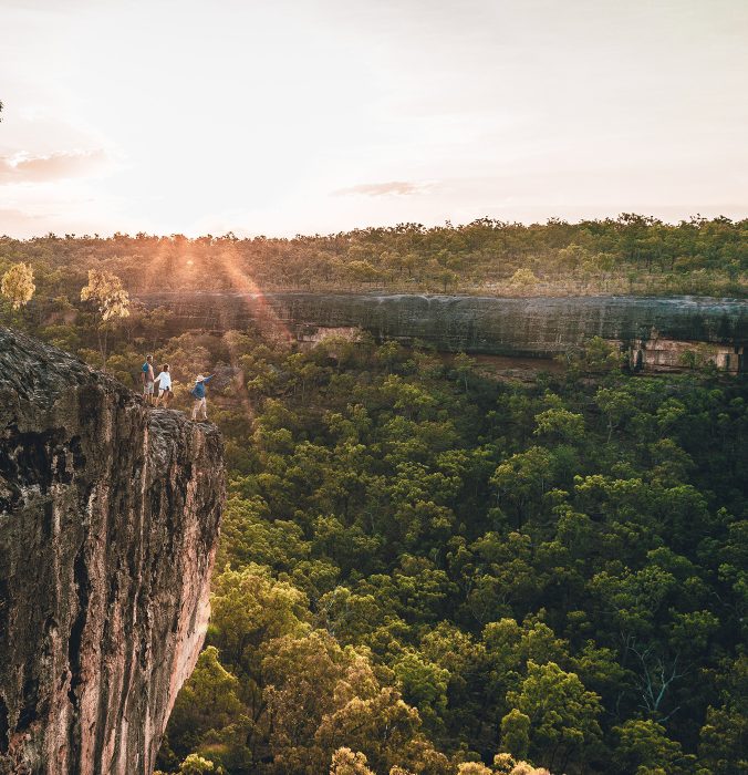
Where rainforest meets the sky
Weipa to the Tip
Travel from Weipa through river crossings, remote bush tracks, and rainforest to the northernmost point of mainland Australia, experiencing the cultural and environmental diversity of the Northern Peninsula Area.


To the Edge of the Torres Strait
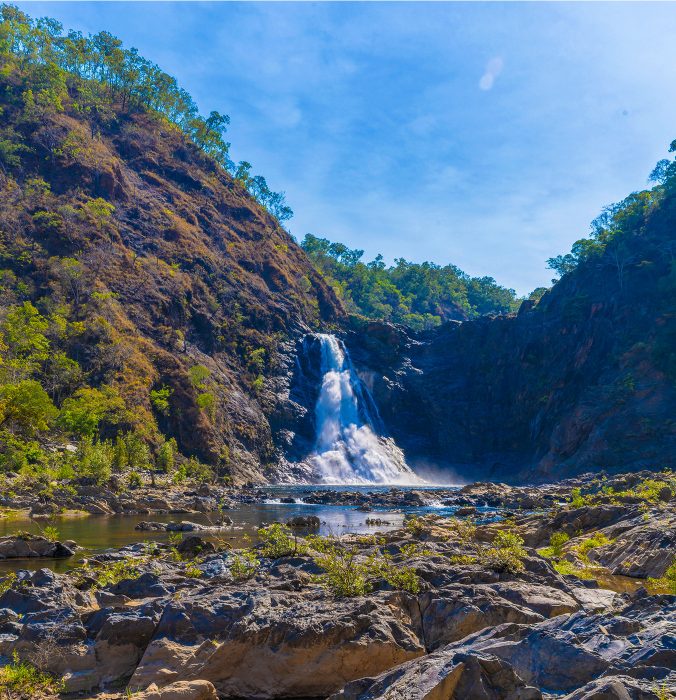
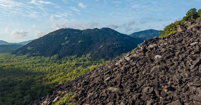
Where you can almost touch the Torres Strait and on a clear day even see Papua New Guinea. In its final stretch, The Great Dreaming Track leads from the north-western Cape into the Northern Peninsula Area. Travellers pass through traditional lands, cross the Jardine River by ferry, and explore remote bush tracks dotted with waterfalls and cultural sites. The journey culminates at Pajinka, the Tip of Cape York, where rainforest and rocky headlands meet the Torres Strait.


Photo Gallery
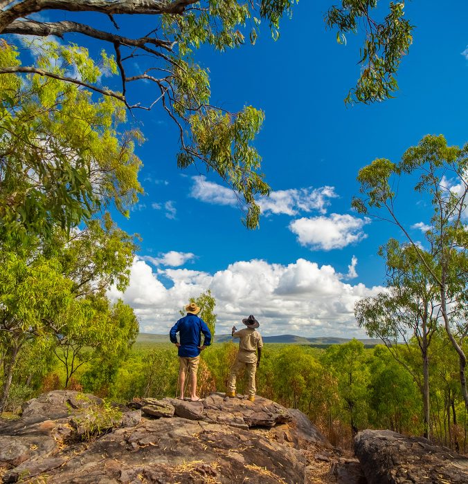
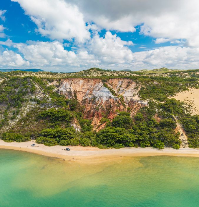
Land, Sky and Sea in View
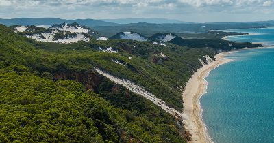
From beaches to waterfalls, each kilometre builds anticipation. Crossing the Jardine River signals the approach to Pajinka, where land and sea meet in a dramatic finale.


Locations in this region
The final leg to Australia’s northernmost point leads through western Cape and Northern Peninsula landscapes, connecting visitors with culturally significant sites, natural landmarks, and the bucket list experience of reaching Pajinka.
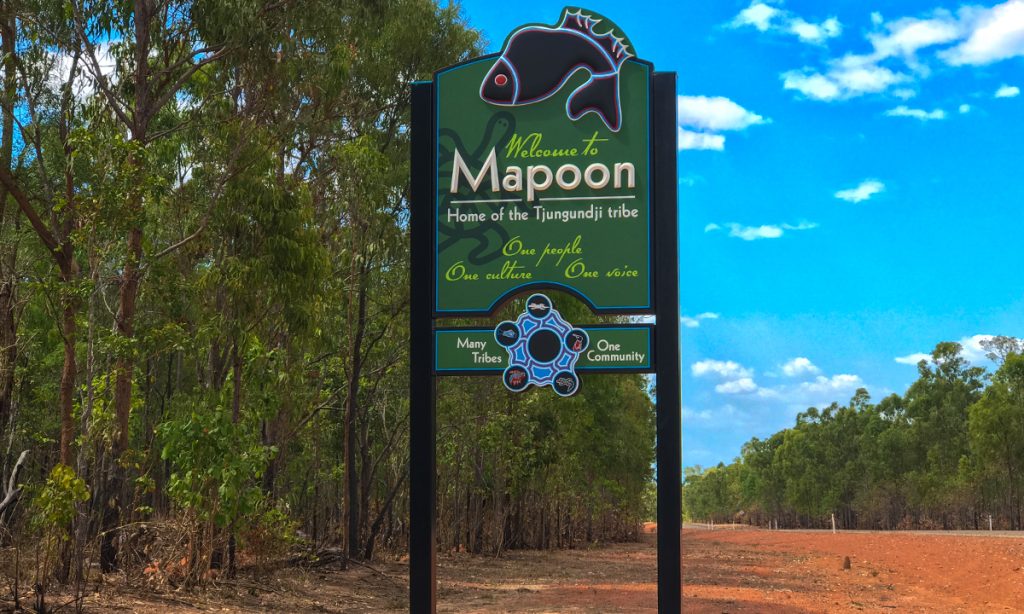
Mapoon
A coastal community with strong cultural connections to sea country, known for its beaches, fishing grounds, and stories of resilience and history.
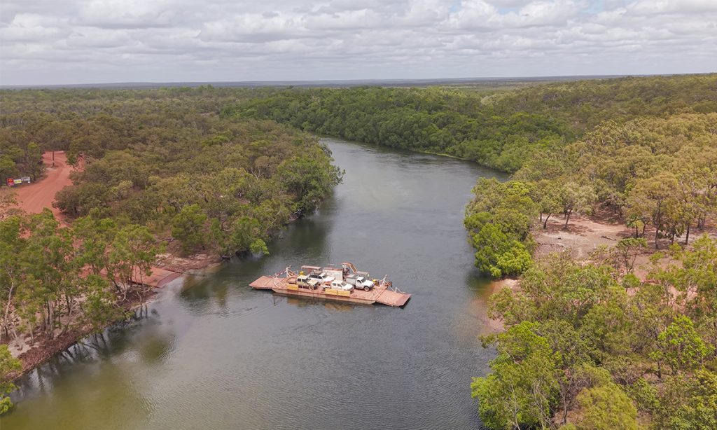
Jardine River
The only crossing point into the Northern Peninsula Area, where the ferry provides passage over a river of ecological importance and cultural significance.
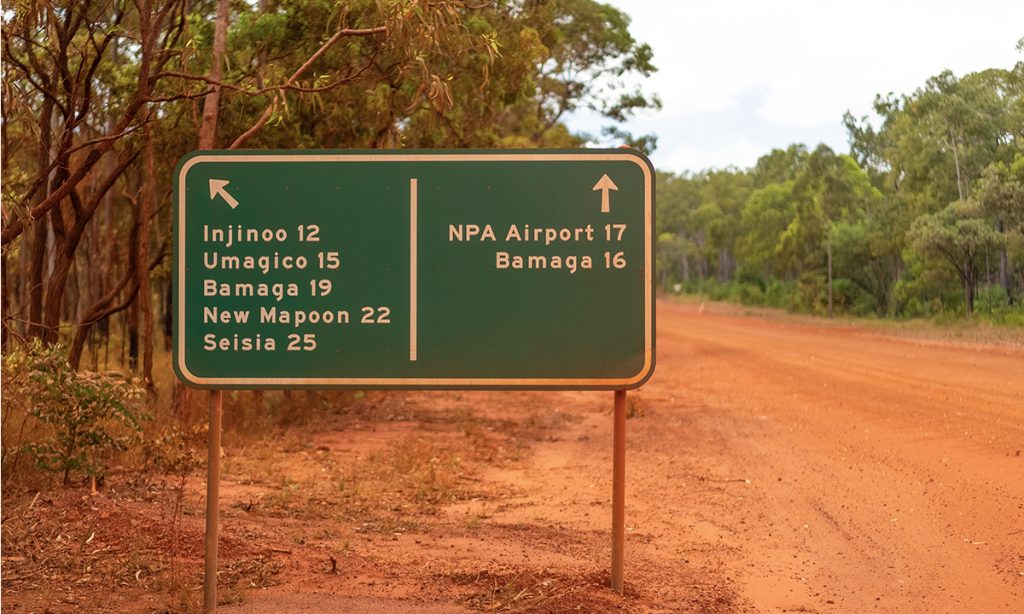
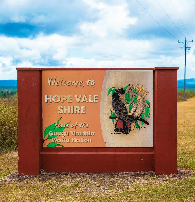
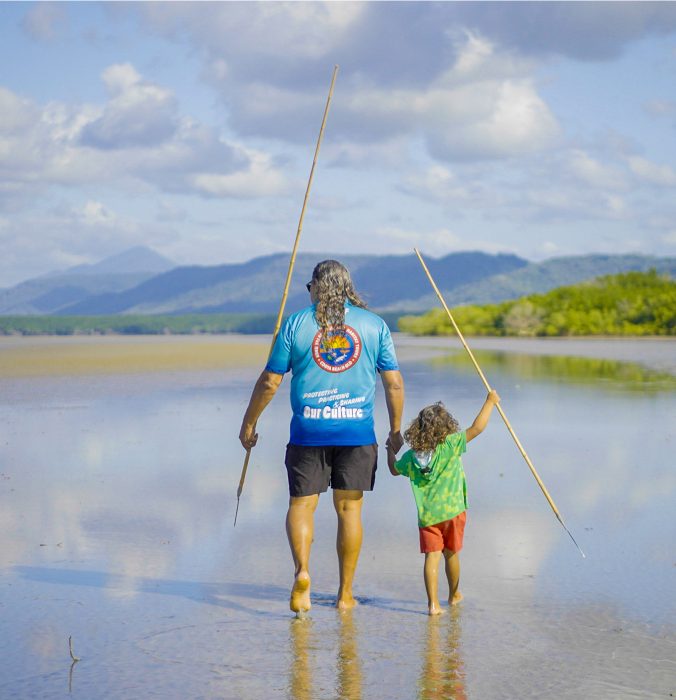
NPA
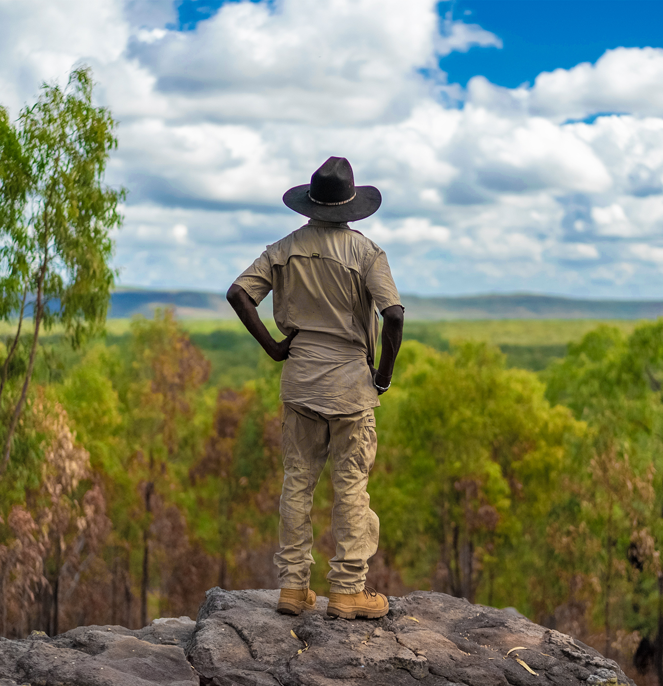
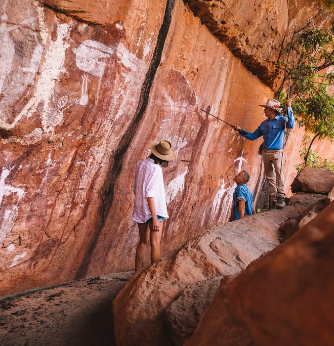
The Northern Peninsula Area is home to several Aboriginal and Torres Strait Islander communities, each with distinct culture, language, and traditions.
Pajinka (Tip of Cape York)
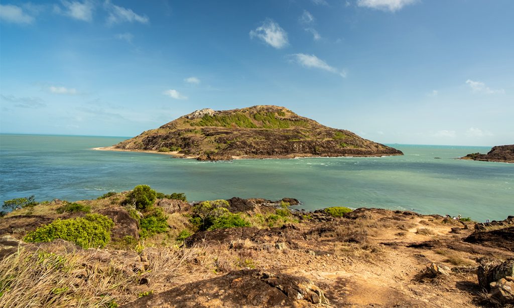
The northernmost point of mainland Australia, where rainforest and rocky headlands meet the turquoise waters of the Torres Strait. From here, you can gaze across to the islands and, on clear days, see the shores of Papua New Guinea.
Experiences
Key Experiences
Discover cultural journeys in coastal communities and encounter the unique wildlife of the Northern Peninsula Area on the way to the Tip.


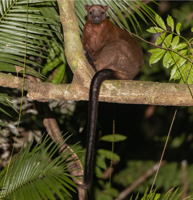
NPA Wildlife
Remote bush, coastline and waterways with Saltwater Crocodile, Common Spotted Cuscus, Palm Cockatoo and coastal birdlife.
Travel and Preparation
This region combines remote inland, rainforest, and coastal journeys. Prepare for limited services, seasonal weather changes, and variable road conditions. Respect cultural protocols and check access to homelands before visiting.

Places to visit
Other regions you might be interested in
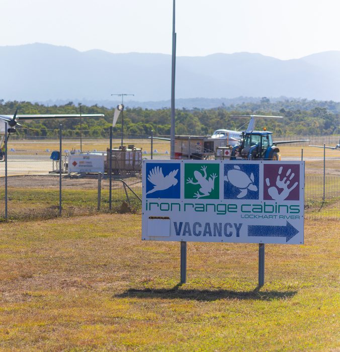
Coen to Weipa
Across river, rainforest and saltwater countryThis part of the track offers access to Kutini-Payamu (Iron Range) National Park and Chilli Beach. Staying in Lockhart River, travellers experience diverse wildlife habitats and enjoy First Nation run accommodation close to rainforest, coast and community.